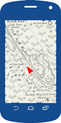
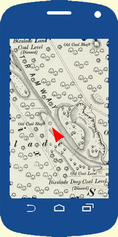
Display large scale historic Ordnance Survey maps on your GPS enabled mobile phone or tablet
Use free software to create and display 25 inch (1:2500 scale) Ordnance Survey maps from around the year 1900, without the need for the Internet or mobile data.
Maps may be obtained from the National Library of Scotland (NLS) Map Images website and are free for personal use. The relevant area of interest is downloaded from the NLS website (subject to availability) and must first be converted into a “custom map” for use on a mobile device. Alternatively, pre-built maps are available to download from the Map Library.
See the Introduction and Documentation sections for full instructions.
Introduction
Documentation
Map Library [use pre-built maps]
Custom Map XML Files for Mobac
Tips and Updates