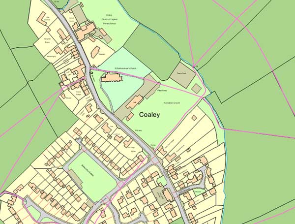
Public rights of way can give vital clues to local historians regarding the existence of long forgotten features. This page gives access to the section of the Gloucestershire County Council online map which shows the public rights of way near the centre of Coaley.
Once you have loaded the map you can use the on-screen controls to zoom in and out and see the rest of the parish, or indeed the whole of the county. A mouse can be used to pan across the map (left click and drag) or zoom (wheel).
Click here or on the image below to load the public rights of way map, in full screen mode, in a new tab, in your browser.