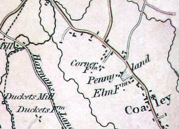
All the maps are by courtesy of Gloucestershire Archives [GA]
Bryant’s Map of Gloucestershire 1824
Scale 1:43700 (approx.) about 1.45 in. to 1 mile. Size: 170(w) x 190(h) cm.
Superb map, coloured, showing a wealth of detail including:- hundreds, towns, villages, parishes, roads, rivers, churches, gentlemen’s seats, houses, inns, nurseries, hills, commons, woods, water mills, wind mills and toll bars. [GA SR31/38530].
Atkinson’s Map of the Forest of Dean 1847
Scale: (approx.) 1:16150 about 4 in. to 1 mile. Size: 104(w) x 130(h) cm.
Very detailed (coloured) map includes Dean Forest boundaries, walks, turnpike roads, coal and iron ore seams and mines, tramroads, inclosures and encroachments. [Search Room Copy].
Coaley Inclosure Map 1876
Scale: 1:2376 about 26.7 in. to 1 mile.
Size: 106(w) x 171(h) cm. The waste and commonable lands in the parish of Coaley. [GA Q/RI/47].
Greenwoods’ Map of Gloucestershire 1824
Scale 1:6580 (approx.) about 1 inch to 1 mile. Size: 142(w) x 123(h) cm.
Another superb (coloured) map. Shows, hundreds, towns, villages, hamlets, churches, chapels, castles, priories, houses, parks, hills, woods, canals, rivers, roads, water mills, wind mills, toll bars and more. [GA SR39/30484].
Plan of the Tithing of Paganhill 1819 (Extract)
Scale 1:6580 (approx.) about 1 inch to 1 mile. Size: 142 x 112 cm, by Charles Baker of Painswick, Ink and watercolour, shows buildings, mills, woods, commons, streams, roads, hedges, land use. Fields are numbered. [P320 VE 1/9].
Plan of the Tithings of Upper Lyppiatt, Lower Lyppiatt & Steanbridge 1820 (Extract)
Scale 1:6580 (approx.) about 1 inch to 1 mile. Size: 218 x 206 cm, by Charles Baker of Painswick, Ink and watercolour, covers Stroud, Bowbridge, Thrupp and Brimscombe Port showing buildings, mills, woods, commons, streams, roads, canal, hedges, land use. Fields are numbered. [P320 VE 1/10].

